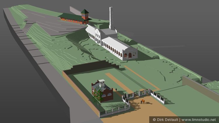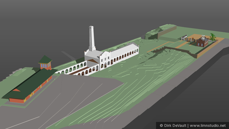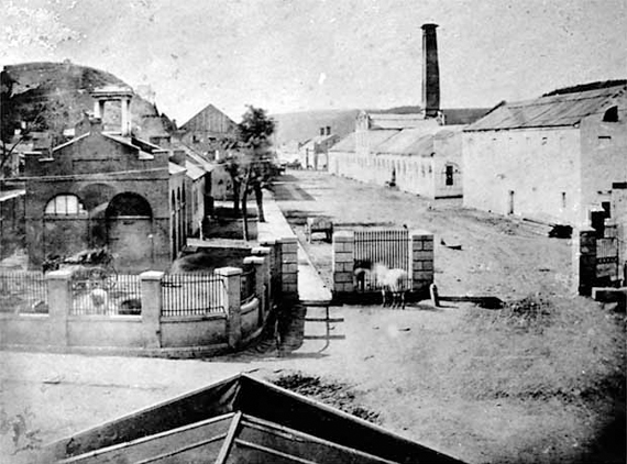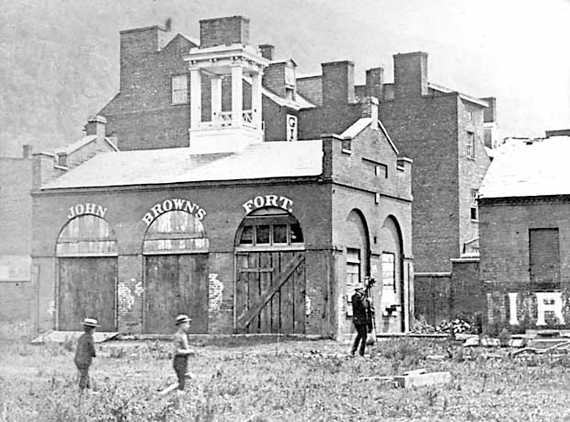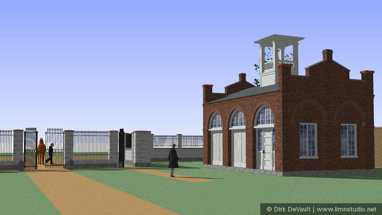
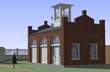
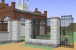
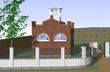
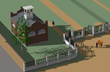
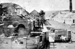
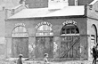
The National Park Service initiated a feasibility study for the purpose of relocating John Brown's Fort (original known as the "Armory Firehouse") to its original location within the armory grounds. The site of the Armory at Harpers Ferry was in constant change from its beginnings in the 1700s. Over the years the railroad and the rivers had an enormous impact on the armory grounds and the town of Harpers Ferry. After John Brown's raid of the armory, the "fort" became a tourist destination, and after the Civil War, the interest in John Brown's Fort decreased. The Fort was physically moved at least three times between the end of the Civil War and today. The fort eventually found its way back to Harpers Ferry about 500 yards from its original location. The existing land where it once was located was dramatically changed by the railroad and therefore its original location was unavailable and approximately 30 feet below the existing grade.
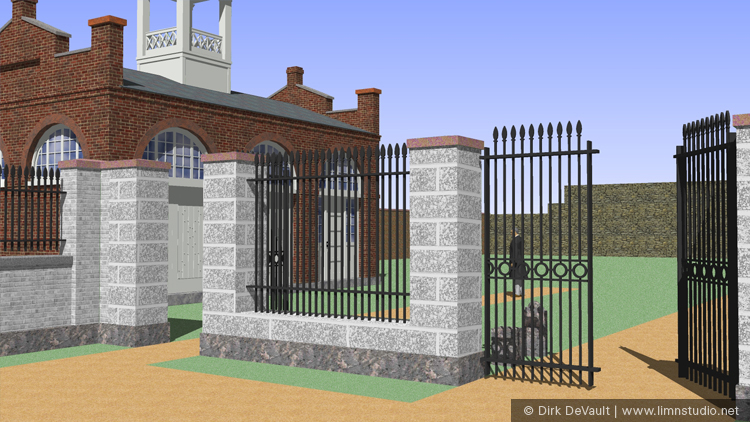
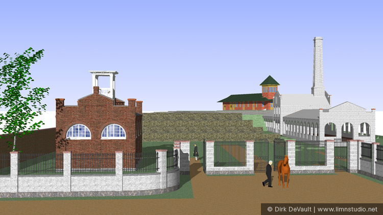
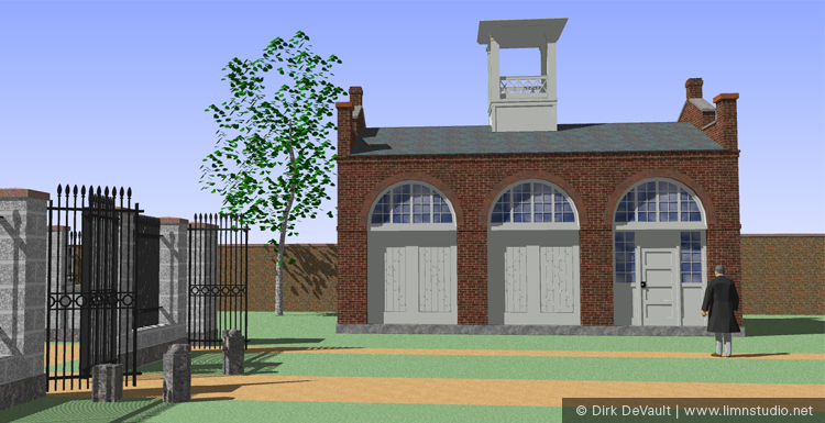
The scope of the work, commissioned by the NPS, included the study of the history of the fort/firehouse and the original armory. Working with the NPS Archeologist, research materials, photos and artifacts were utilized to help create a 3D computer model of the area circa John Brown's raid. The computer modeling information was used to create still images as well as an animated video showing the process involved in relocating the fort to its original location within the restored from gate of the armory grounds. The project included developing an existing site plan and contours within a 3D model and recreating the original armory grading and conditions. This included recreating armory buildings, including the recently renovated train station, the existing firehouse, the long demolished smith and forging shop building, and the entry gate/wall. The resulting 3D video, still images, and archeological study were used for fundraising purposes.


Content Copyright © Dirk DeVault